
← The Chronicle · For Curious Families
How to Compare Old and Modern Maps with Children
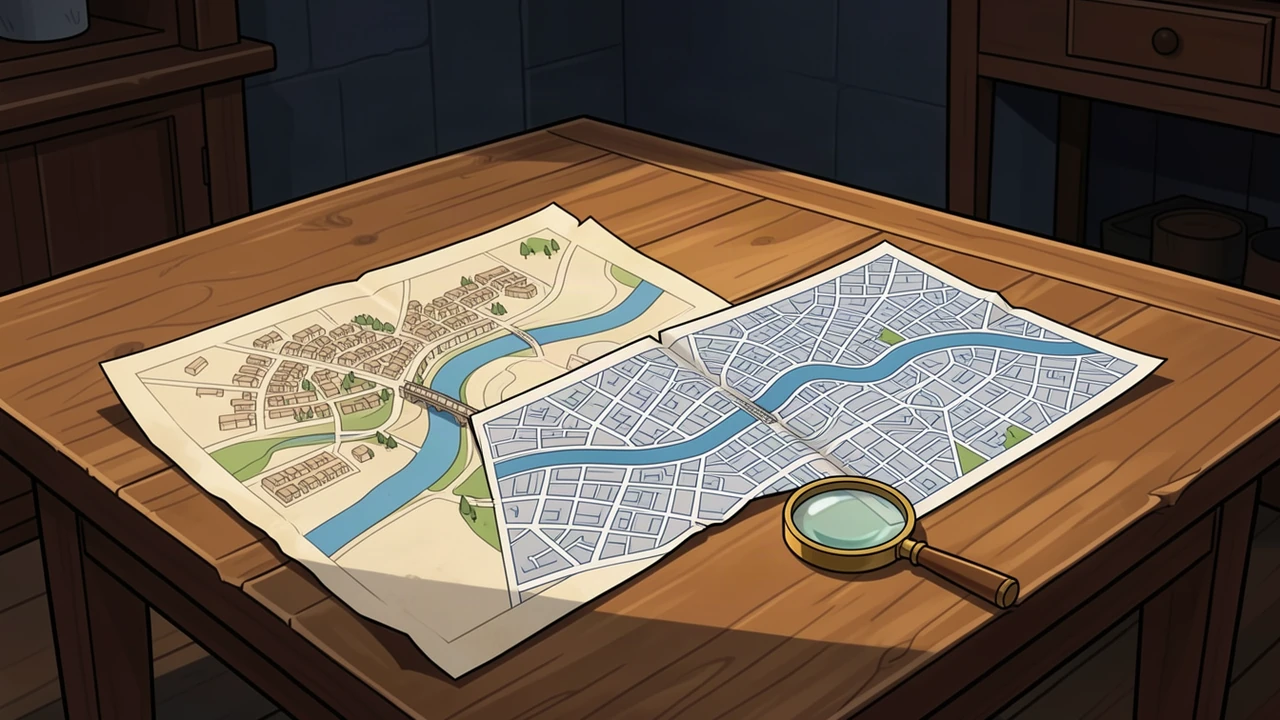
Pick a river crossing, a park or a few public streets. Find two readable maps of that place, made at different times. A grown-up can help open archive records or prepare permitted printouts.[1][2]
Use a public place for this activity. You do not need to share a child’s home address or post your notes online.
Make the maps a fair pair
View full illustration (opens in a new tab)
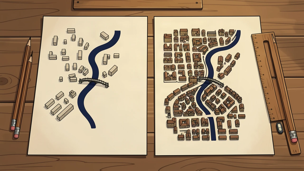
Find two landmarks that appear on both maps. Check which way each map faces and read its key. Look at the scale: two pictures of the same size may show very different areas.[1][3]
Keep survey and publication dates separate if the record gives both. One tells you when information was gathered; the other tells you when the map appeared. If a date is missing, leave a question beside it.
Three things to notice
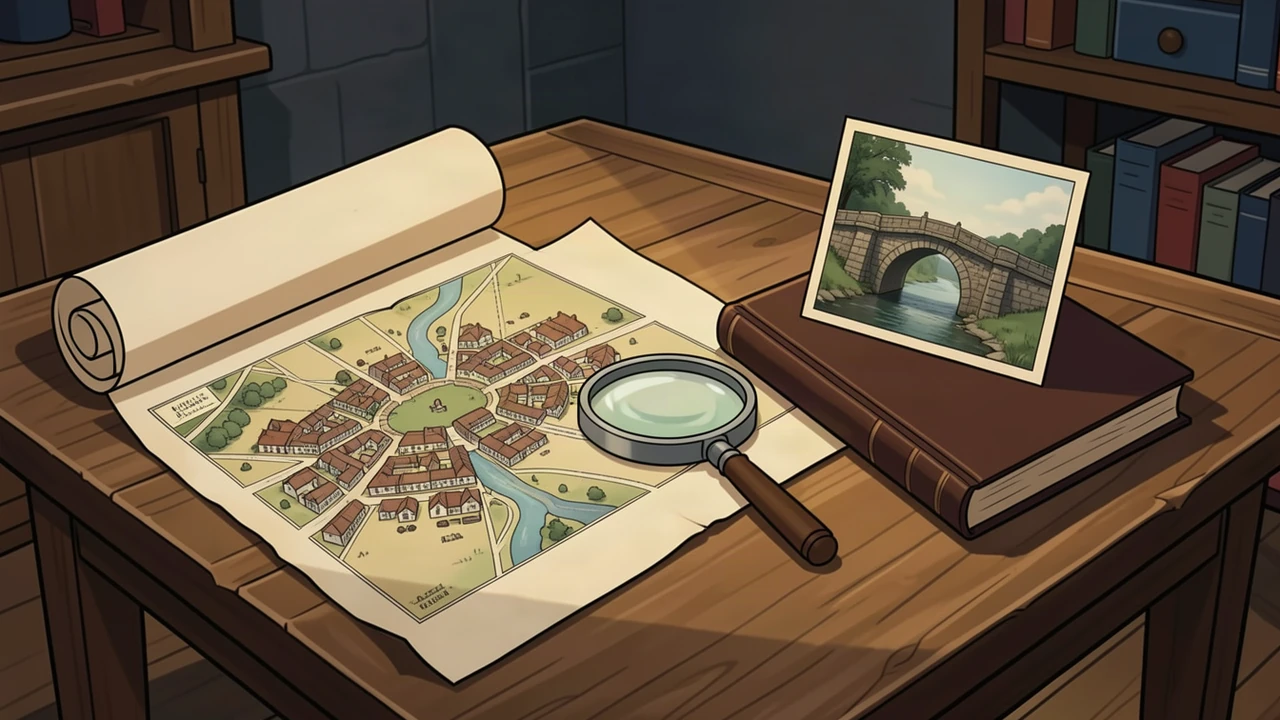
Make three spaces on your paper: what I see, what it might mean, and what could help me check. This adapts the Library of Congress method of observing, thinking and asking questions.[3]
View full illustration (opens in a new tab)
Find something that stays the same, something shown differently and something puzzling. Point to the mark that supports each note. A street missing from one map was not necessarily missing from the town: the mapmaker may have left it out.[3]
Try a small mystery
Imagine that one map labels a patch as an orchard and a later map shows streets there. The maps suggest change. They do not, alone, tell you the exact year the trees disappeared or who lived in the new houses.
Could a dated photograph or another map help? Finish with three observations and one question you would like to investigate. Our illustrations are invented examples; use real source maps for your findings.
Try a family oral-history interview to explore memories alongside maps.
Sources
Related stories
History Behind the Story
The Monteagle Letter: The Warning That Helped Expose the Gunpowder Plot
Read what the Monteagle letter said in 1605: its warning, instructions and omissions, its delivery to Robert Cecil, and its place in the discovery.
Read the story →